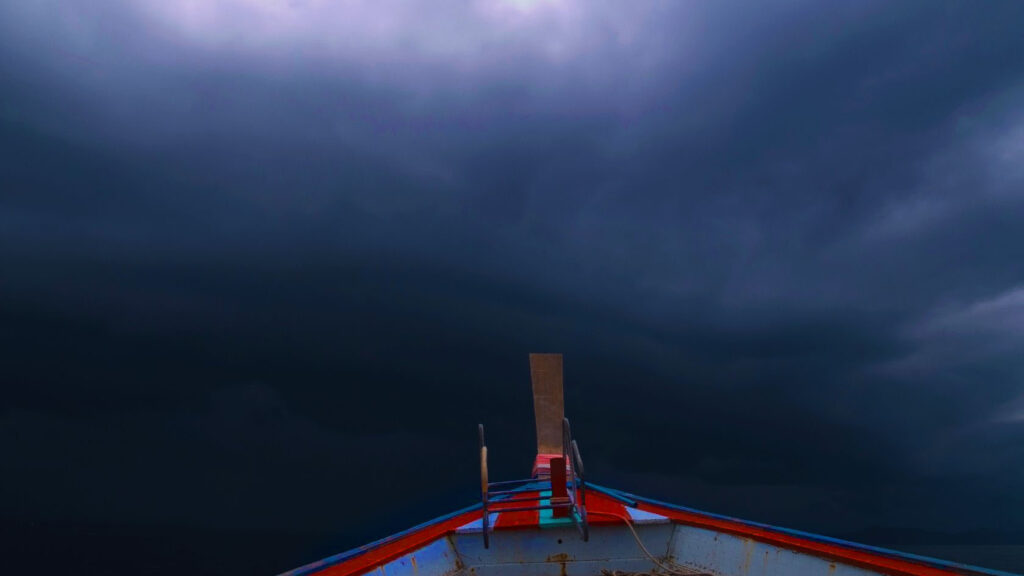
Experienced boaters are quick to point out the importance of checking the weather report before heading out onto the water. However, if you are like most people, you don’t read boating weather reports, also commonly referred to as marine weather forecasts. Fret not, as we’ve got all the information you need to decipher the most complex boating weather forecasts.

Marine Weather Forecasts Explained
It wasn’t long ago when marine weather forecasts were provided through often unintelligible automated voices. Such reports would repeatedly broadcast basic weather details on VHF, providing information applicable to sizable bodies of water. Such reports would communicate conditions across nautical mile lengths and also provide wind strength information. Times have clearly changed with the rise of the internet.

Today’s boating weather forecasts are much more detailed thanks to advances made in weather forecasting technology. However, such information isn’t very useful unless it is understood by casual boaters. Check out your local water body’s forecast through the National Weather Service website or another similar site by clicking the digital map in the area targeted for fishing and you’ll be treated to an informative forecast about water conditions. Be sure to check out the graphics that provide a convenient and informative snapshot of the conditions for the days ahead, highlighting approaching storms and fogs that interfere with boating expeditions.
Delve into the detailed forecast for the days ahead and you’ll find plenty of insightful information. The synopsis of the conditions provides a summary of the weather activity. Such reports include information about wind direction and speed as measured in knots. A single wind knot equates to 1.151 miles per hour.
Reports
“This Morning S Wind around 15 kt”
This is a typical example of a Marine report. It reads that the wind will be blowing southward at a speed of 15 knots.
Understanding Weather Boating Terms
Directions
In a boating report, directions are shortened by using the first letter of the wind’s direction: S – South, W – West, N – North, E – East
Wind
Winds are responsible for wave height, swells and conditions of waters. In weather forecasts winds are reported in a measurement in knots. 1 knot= 1.1508 miles per hour. Wave caps begin to form typically when the wind reaches 12-13 MPH.
Measuring Winds on Your Boat
Traditionally, boats use anemometers and wind vanes to measure wind speeds and direction. However, it is also popular for boats to use transducers to transmit data. Hull transducers can be used in motorboats to calculate and reduce effect of drag on a boat. Whereas sailboats can rely on a masthead transducer and an electronic wind vane. Chart plotters are also electronical devices that measure winds.
Wave Height
Wave height is the distance from the bottom of the wave’s trough the top of its crest. Boaters learn that when a wave height range is forecasted—the difference between 2.5 meters and 3 meters can be significant. Moderate wave heights of 1.25 meters – 2.5 meters can mean you will have an enjoyable day on the water. Whereas rough wave heights starting at 2.5 meters and ranging to 4 meters can make for a treacherous day on the water.
Water Conditions
| Smooth | Wave heights less than 0.5m |
| Slight | Wave heights of 0.5 to 1.25m |
| Moderate | Wave heights of 1.25 to 2.5m |
| Rough | Wave heights of 2.5 to 4.0m |
| Very Rough | Wave heights of 4.0 to 6.0m |
| High | Wave heights of 6.0 to 9.0m |
| Very High | Wave heights of 9.0 to 14.0m |
| Phenomenal | Wave heights of more than 14.0m |
Swell
Swells are smooth large waves that continue without breaking for long distances. They are formed by disturbances of wind from far off distances that have generated in different areas. Even after the disturbance has occurred the swells continue. Swell height is a gauge of the wave trough to its crest.
Visibility Terms
| Very Poor | Visibility less than 1,000 meters |
| Poor | Visibility between 1,000 meters and 2 nautical miles |
| Moderate | Visibility between 2 and 5 nautical miles |
| Good | Visibility more than 5 nautical miles |
A Look at Water Swells

If your boating forecast notes mixed swells, it means there are multiple swells taking place at the same time. As an example, swells of several feet can arrive at specific intervals and from different directions. In the context of swells, intervals are the length of time in between wave lengths. However, some boaters focus on the height of swells while bypassing intervals.
In general, boaters are likely to be safe on the water if swells are less than eight feet and the interval is a minimum of two times the height of the waves. However, there is a chance that swells will change based on water current.
Use your mind’s eye to envision your next boating expedition. The weather report indicates 5-foot sells with a 12-second interval. If there were no wind, sailing would be quite smooth. However, if the current moves in opposition of the swell, the conditions might turn dangerous. It is possible that the current will put pressure on waves, resulting in swells to be erect, creating challenging on-water conditions.
Mind the Wind Waves
Though forecasting the water current is inherently difficult, weather prediction technology has advanced to the point that it can predict waves created by wind. Wind waves are waves generated by wind yet occur independent of water swell. If the wind is moving in unison with the swell, conditions might be tolerable. However, if the wind were to blow in opposition to swell, it will likely result in wind waves that collide with the swell leading to harsh conditions.
Visibility Matters
Visibility on the water is integral to boating enjoyment and personal safety. Some boating weather reports describe visibility conditions on the water with words such as “poor” and “good” yet such words aren’t highly specific.
Each word used to describe on-water visibility is indicative of distance. Good visibility indicates there is at least 5 nautical miles of visibility. Moderate visibility means you’ll be able to see between two and five nautical miles ahead. Poor visibility indicates a visibility range between 1,000 meters and two nautical miles. Very poor visibility indicates there is visibility less than 1,000 meters.
Sea State Forecast
Boating weather forecasts that indicate Sea State use a range similar to that employed for visibility. The Sea State forecast range is between the extremes of phenomenal and smooth.
A phenomenal Sea State indicates a wave height in excess of 14m. A very high Sea State indicates a wave height in the range of 9m and 14m. A high Sea State means there will be a wave height of 6 to 9m.
Very rough Sea State means there will be a wave height between 4m and 6m. Alternatively, smooth Sea State indicates boaters will face a wave height less than 0.5m.
Focus on the Weather Report Details and Check the Forecast at Least Twice
When in doubt, err on the side of safety by checking the boating weather forecast at least two times before departing for your on-water adventure. The plain truth of the matter is some maritime weather forecasts contain errors. Moreover, some boating weather forecast information is laden with inconsistencies. Such inconsistencies are important as they have the potential to indicate water conditions will become uncertain in the hours ahead.
Check the forecast several hours prior to departure and once again within the hour prior to departure to note such inconsistencies. If the report indicates conditions are changing, do not hesitate to delay the trip to a day with calmer weather and waters more suitable for safe boating.
Pay Close Attention to the NOAA and the National Weather Service
NOAA boating weather forecasts are revered by boaters across the nation for good reason: they are timely, accurate, informative and have the potential to save lives. NOAA is an acronym that stands for National Oceanic and Atmospheric Administration. Be sure to bring a radio on your expedition along with backup batteries so you can tune into the NOAA forecast.
Tune in for the latest updates and you’ll obtain a better understanding of incoming weather including potentially harsh on-water conditions or approaching weather storms that put your boat, yourself and passengers in danger. If it appears that the weather will take a turn for the worse, check the NOAA weather forecast at least once every half hour for regular updates.
We would be remiss not to highlight the National Weather Service’s role in boating safety. The National Weather Service has the authority to issue small craft advisories. Such advisories are given when wind speeds reach 20 knots to 33 knots. Heed such warnings and change your boating plans accordingly.
Moreover, lights and flags are also used to warn small crafts of harsh conditions ahead. Be mindful of such warnings, take them seriously and you just might sidestep potentially life-threatening on-water situations.
Read related articles: